Hamilton Hut to Harper Campsite – 19kms
Total – 522kms
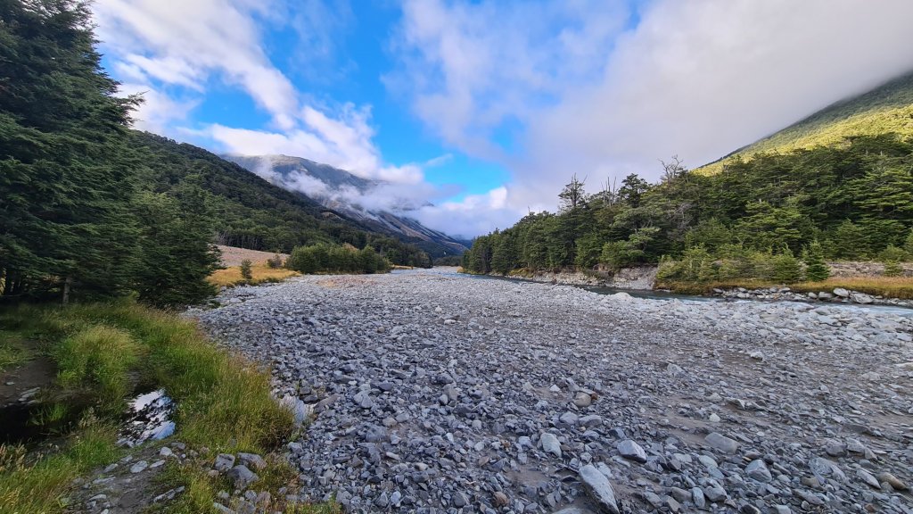
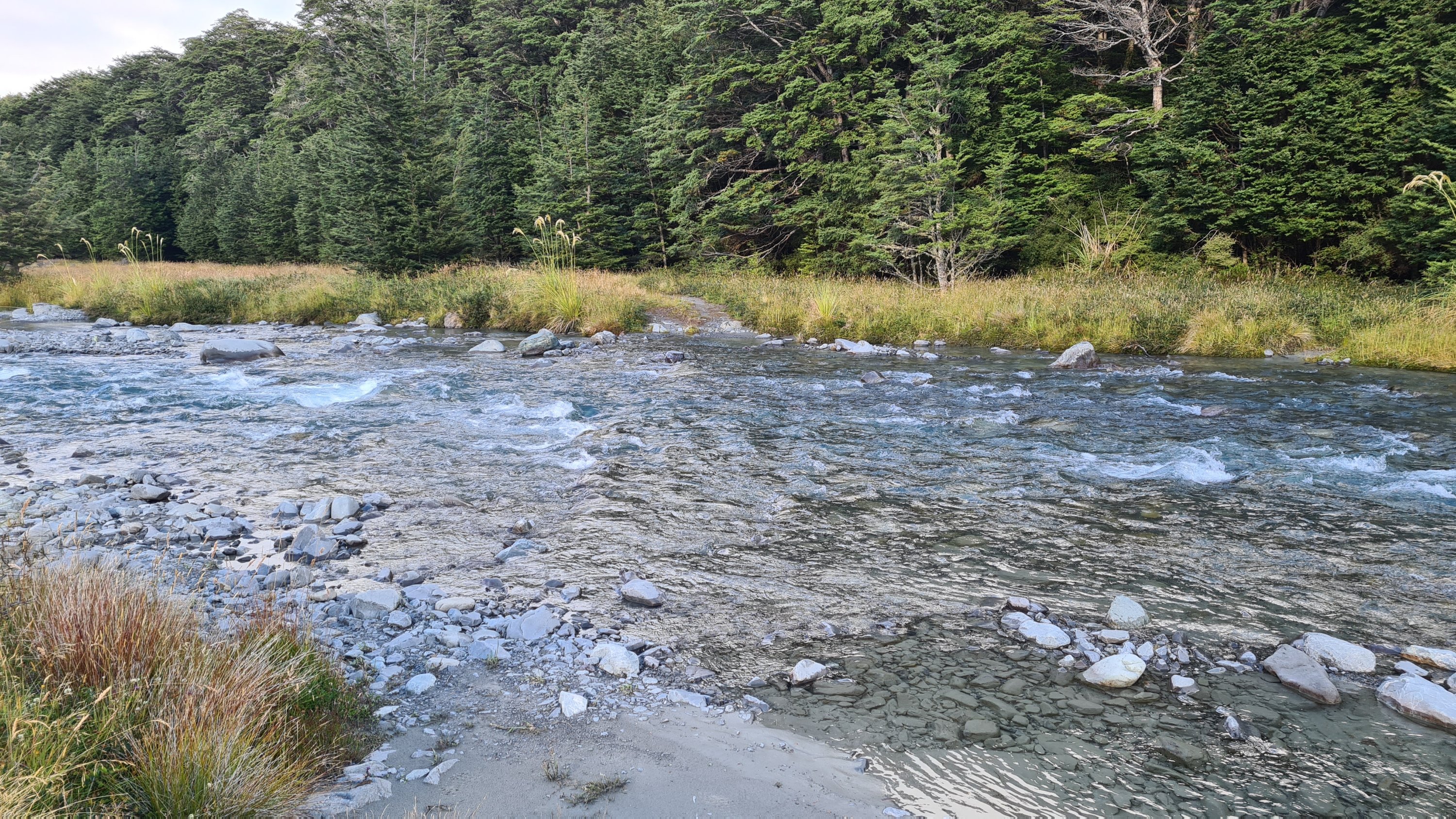
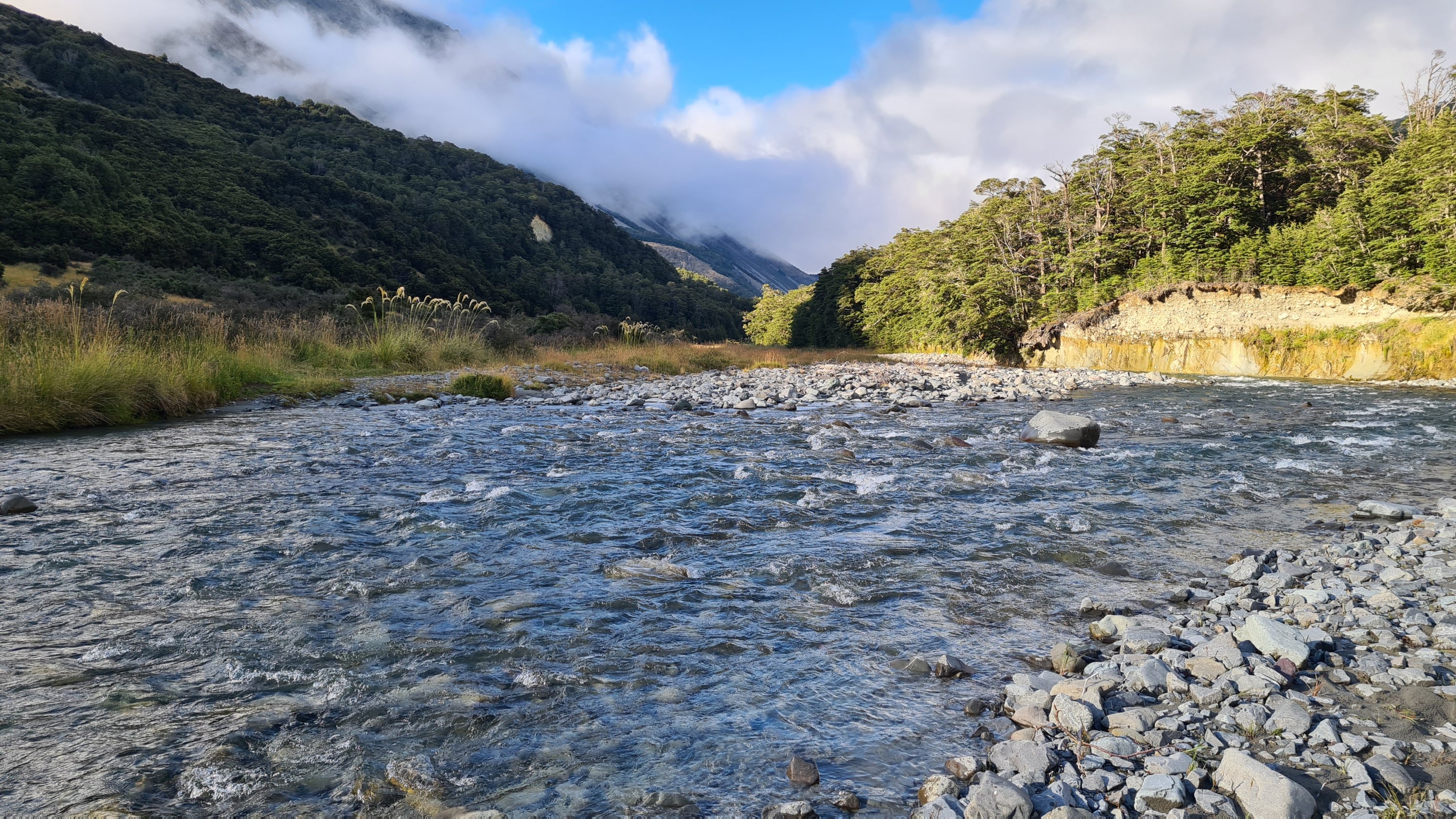
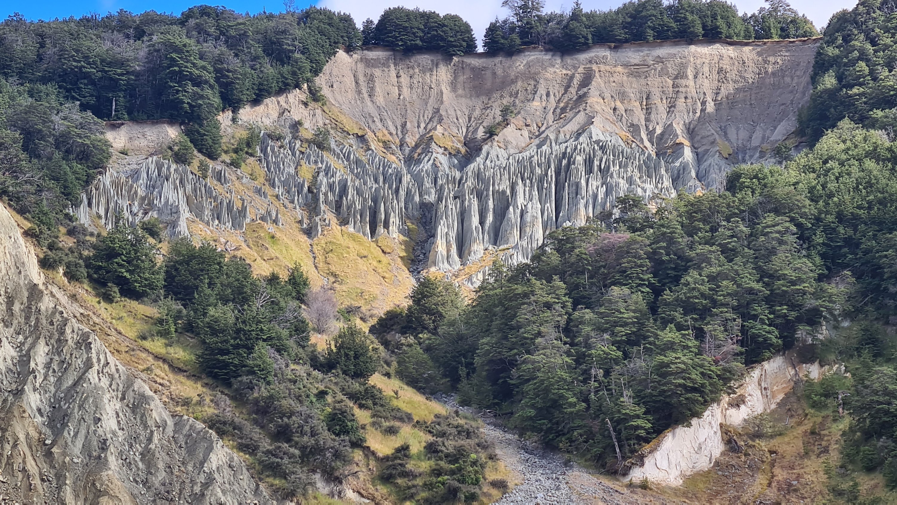
It was cold last night so someone lit the fire in the hut. I put my boots next to it so they were dry when I put them on this morning. But it was only 20 minutes down the track before they were wet again. I followed a 4wd track all the way down the Harper river today, still in the Craigeburn Forest Park until it entered Glenthorne Station. I lost count how many times I crossed the river back and forth. At least a dozen times, and then the Avoca River at the confluence. A few of the Harper crossings were challenging due to the speed of the water but still manageable. Nothing over my waist. The water was so cold though! My feet were numb for the first hour.
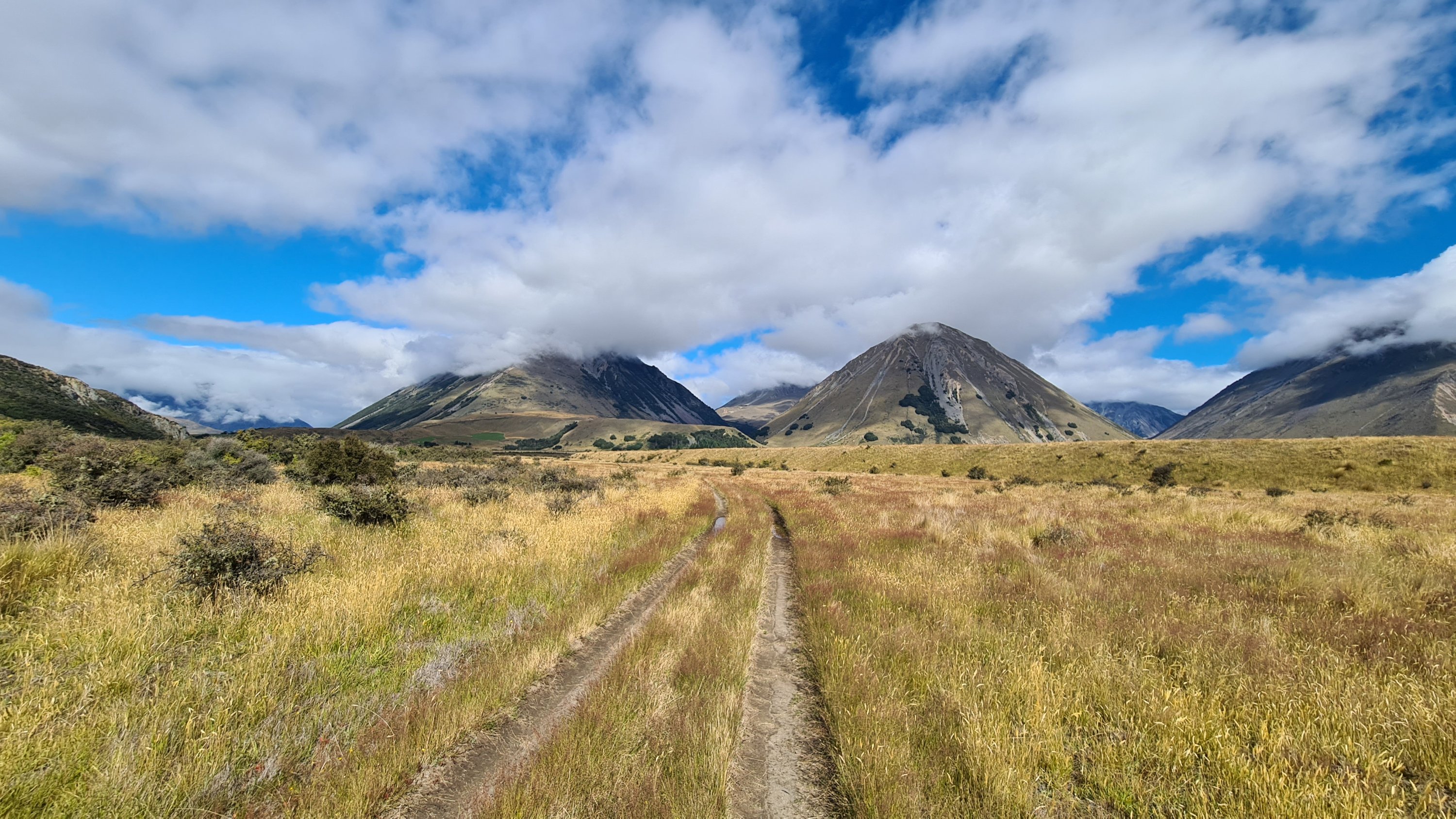
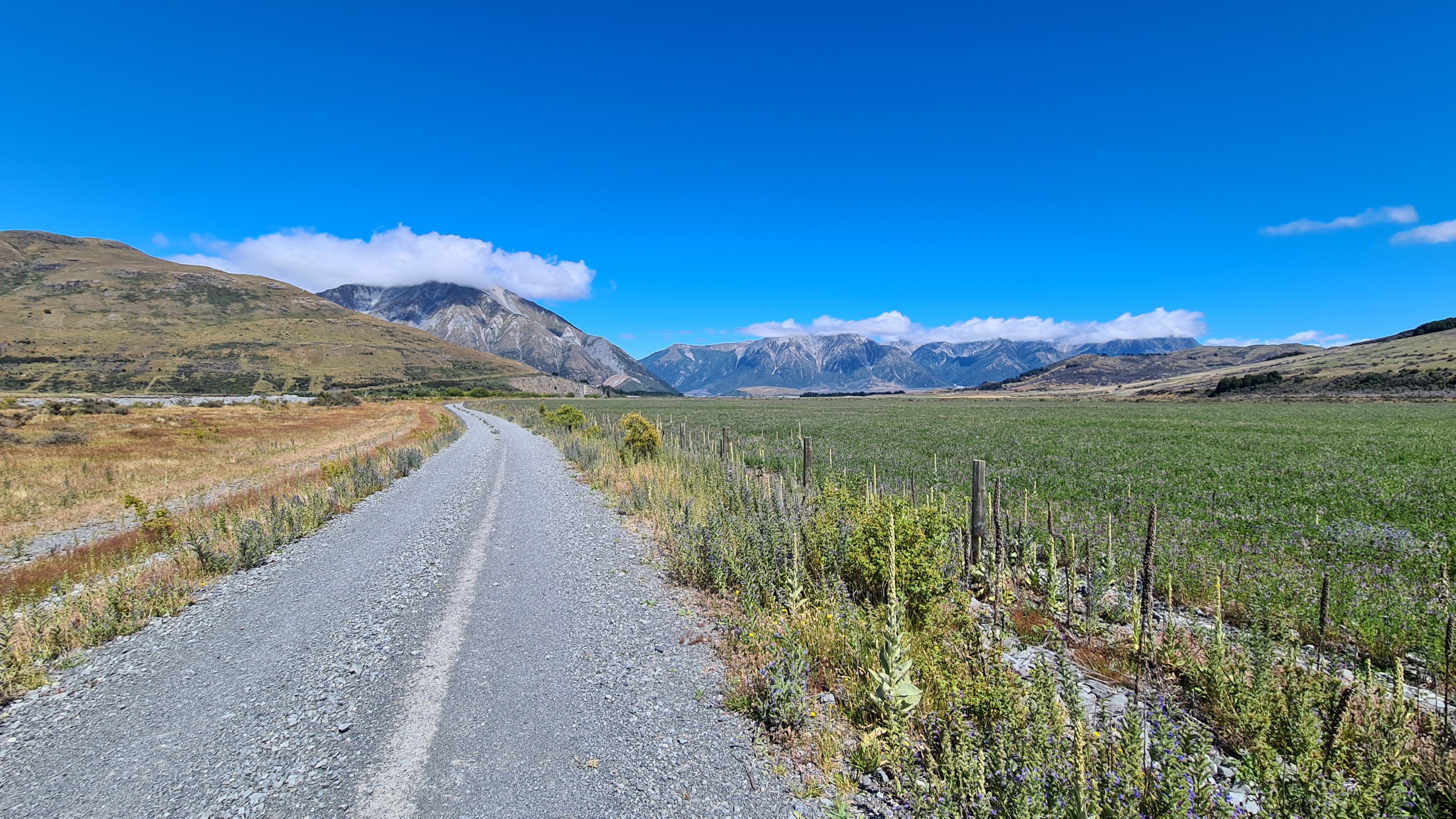
Another day of beautiful valley walking and under no time pressure. Mt Olympus and Mt Ida to the left of me, Grey Range, Mt Fitzwilliam and Gargarus to the right.
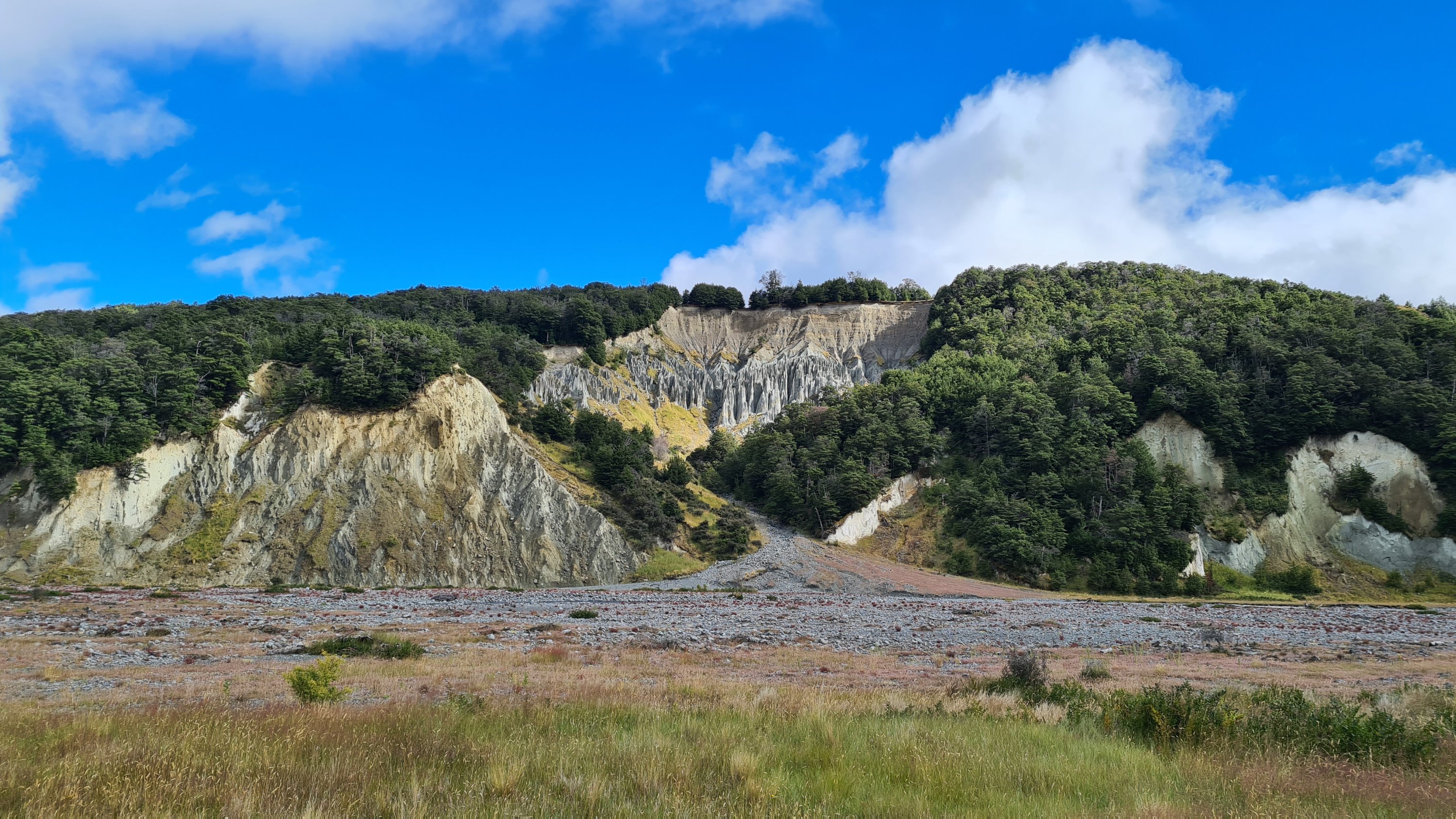
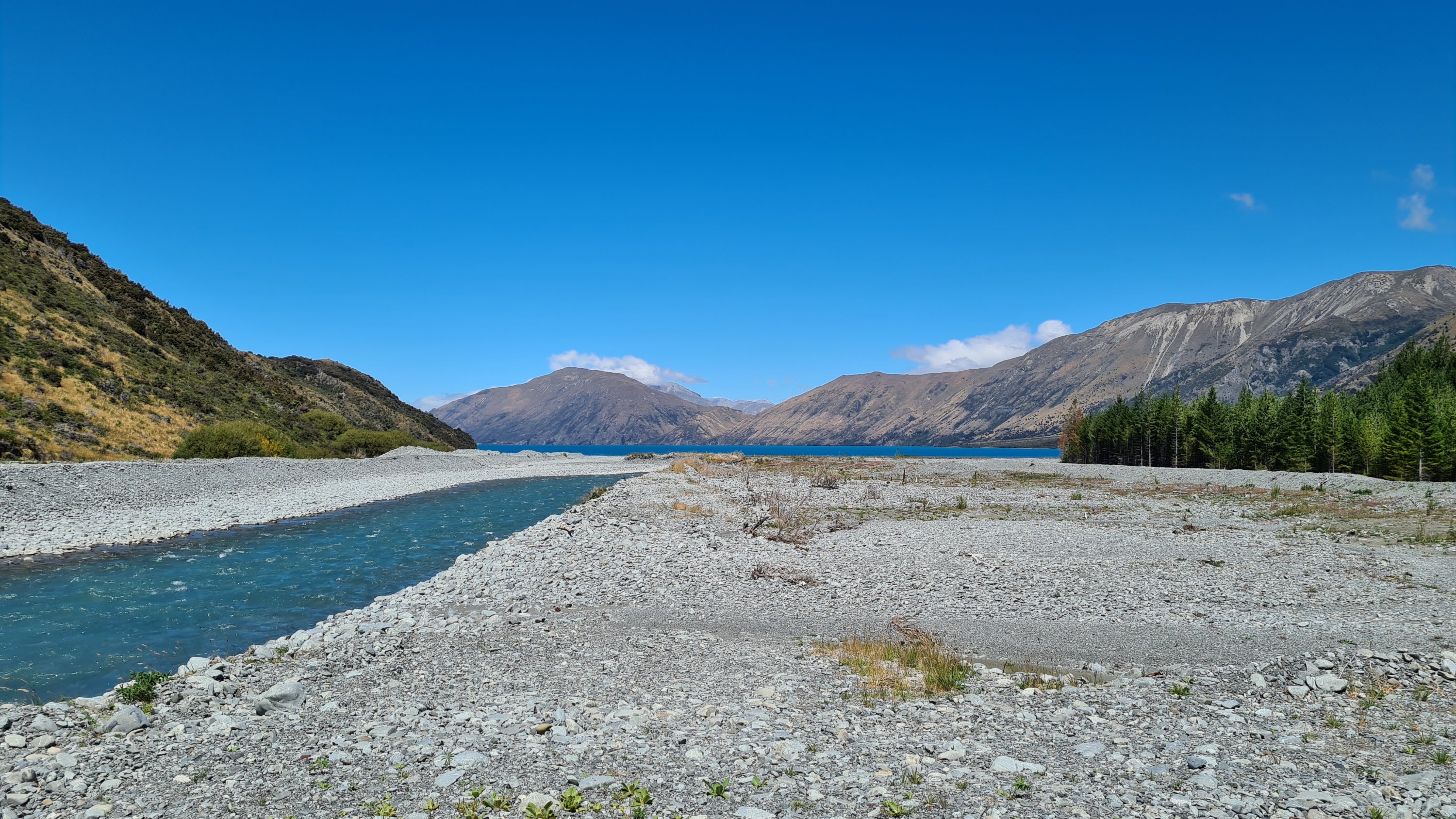
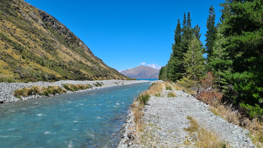
I came out onto Harper Road and stayed at a free campsite next to the Harper River diversion canal that runs into Lake Coleridge. The campsite was very basic with a long drop toilet and a water tap but no shelter from the sun. After setting up my tent, I walked down the side of the canal until I had a good view of the lake and chilled out in the shade for a while.