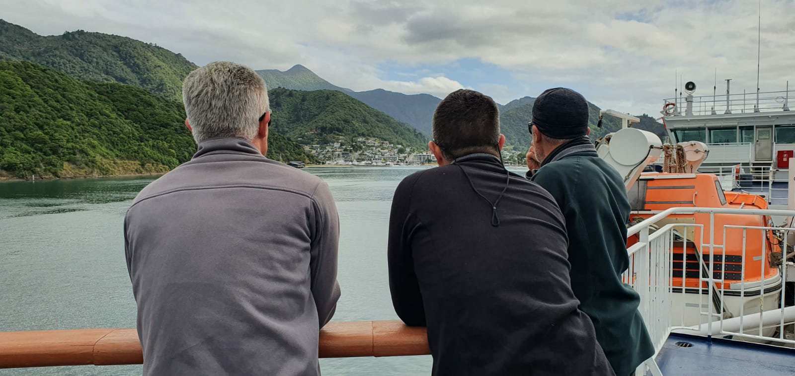
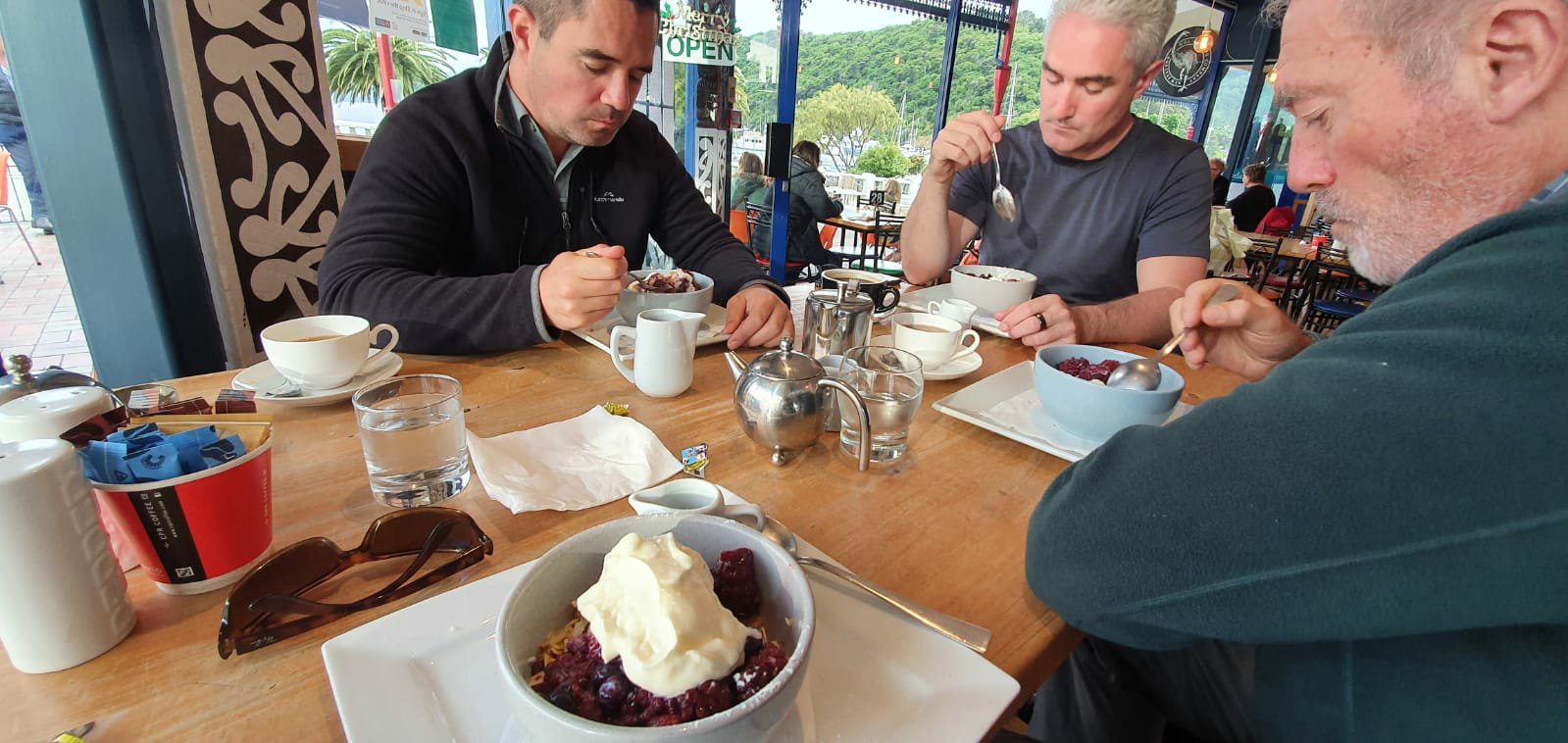
This morning we had breakfast at a Cafe across the road before seeing Scott off at the bus stop. He is catching the ferry back to Wellington then flying home to Hamilton. We all wish he could continue on with us, and so does he, but he has work to get back to. It was really good spending time with the bro. We did talk about doing the Mt Everest Base Camp hike together so that might be my next adventure in a few years from now.
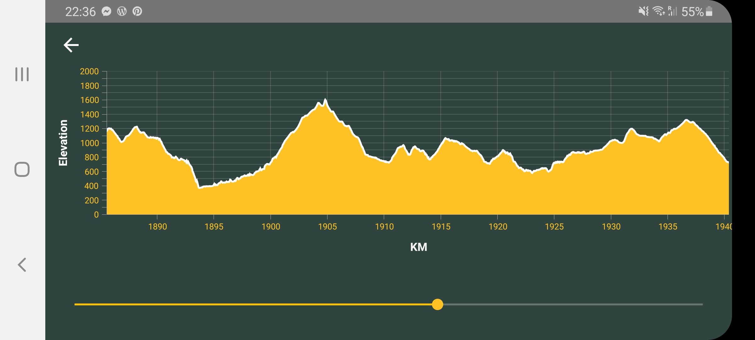
After Scott left we got straight into planning for the Richmond Ranges. We spent a good amount of time looking at maps and weather information to determine what the winds and temperatures will be at the different altitudes we aim to be at each day. Also taking into consideration amount of rain as there will be lots of river crossings through this section and even one day where the trail is a river. The highest elevation is around 1730m above sea level. That’s just one of them though. There are a few others that get close to that meaning we will be going up and down a lot for the next 10 days. Its roughly 140kms from one end to the other so pretty slow going.
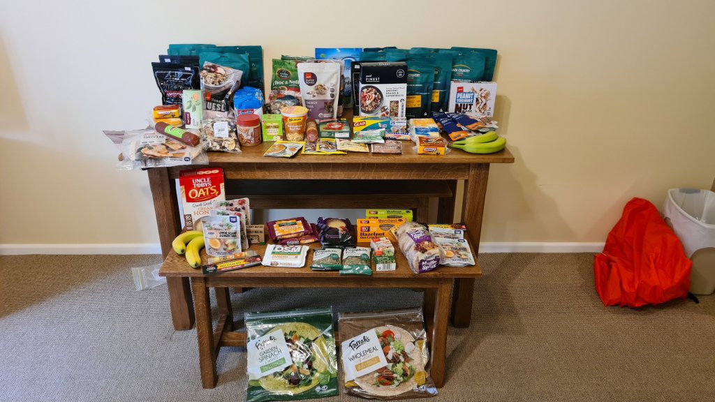
We also planned out our food and calculated exactly how much we need to carry including two extra days worth in case we get held up by bad weather or we simply take longer than expected. The long range weather forecasts are only fairly accurate for the first 3 to 4 days but then things can change a lot. It does look like we have a fairly good window of opportunity. Although it will be much cooler than expected. It was snowing up there earlier this week and temperatures will be ranging from lows of 2-6 degrees to highs of 8-16 degrees. We will be staying in huts the whole way and have the right gear to handle those conditions.
I am not sure how much phone reception I will get up there and will be conserving battery life so will not be able to upload daily blogs. Hopefully I can get a few out. I’m sure there will be lots to write about and plenty of good photos.